A Clearer Asset Picture
GIS, field observations, monitoring, and work history are brought into a usable operational view.


Integrated Service
Reliable asset information for planning, maintenance, and emergency response.
Overview
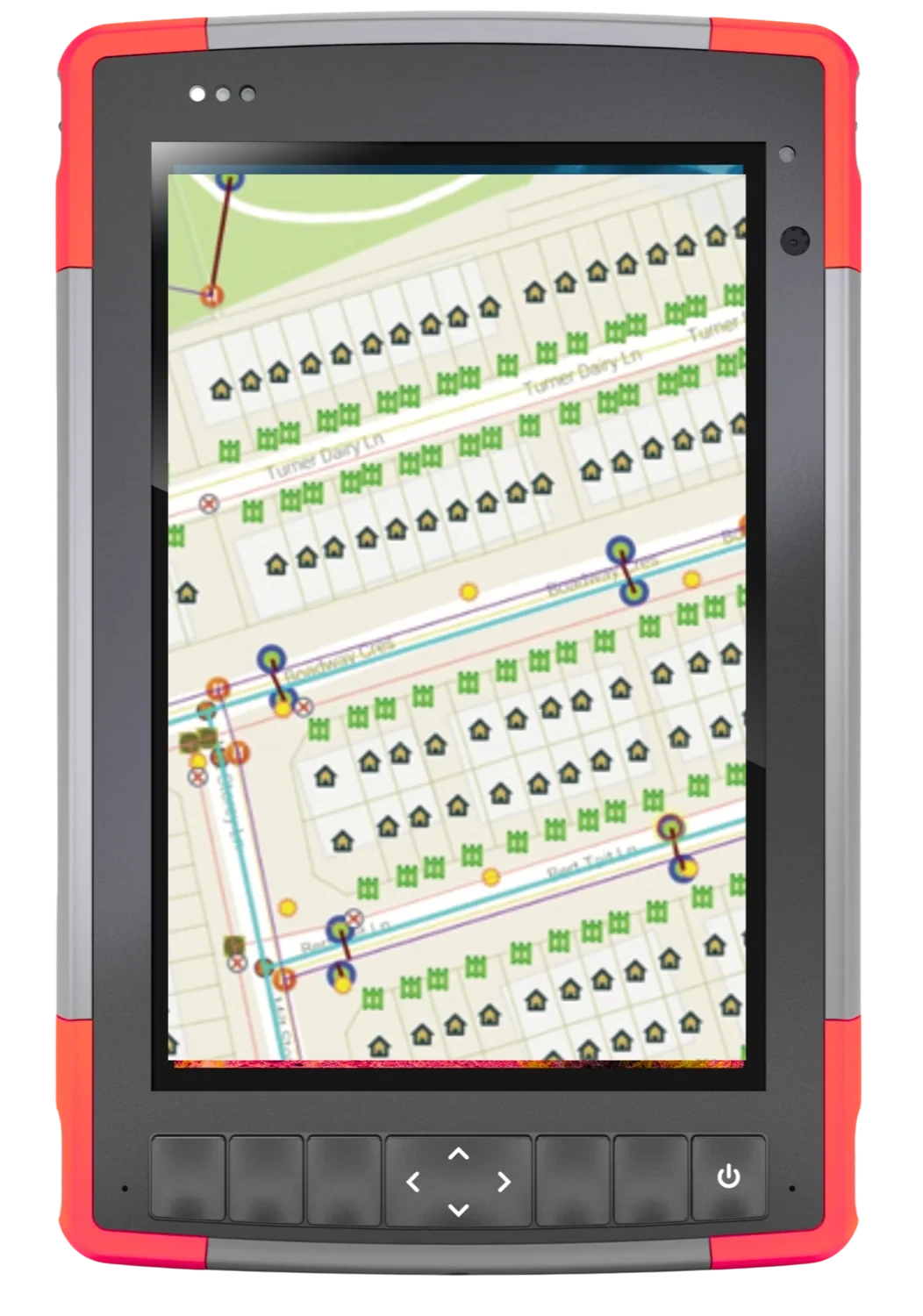
INTUS connects field data, GIS, monitoring, alerts, and work orders. Teams can see asset condition, coordinate maintenance, and respond with better information.
What this enables
The practical results this service is built to produce.
GIS, field observations, monitoring, and work history are brought into a usable operational view.
Teams can prioritize work using condition, location, alerts, and service information.
Critical maps and asset records are available when urgent coordination is required.
How we deliver
Each capability ends in something you keep. Open one for its scope, applications, and deliverables.
INTUS connects sensor or inspection findings with GIS location information and work-order activity. When an issue is identified, teams can see where it is occurring, understand the available context, and coordinate the next operational response.
Common applications
Deliverables
INTUS collects and integrates locate, as-built, field, and geospatial information into a consistent asset record. The work reduces disconnected files and gives planners, engineers, managers, and field teams a more dependable information baseline.
Common applications
Deliverables
INTUS connects service workers, vehicles, equipment, and cargo with location and operational information. When combined with Web-GIS, managers can review current field activity and retain route or assignment history for coordination and analysis.
Common applications
Deliverables
INTUS supports infrastructure assets from construction and commissioning through operation and maintenance. Location, condition, work, and service information are connected so owners can manage large portfolios with clearer continuity across the asset lifecycle.
Common applications
Deliverables
INTUS provides browser-based access to maps, asset attributes, issues, and related operating information. Approved users can locate an asset, review available context, and support maintenance or management decisions without relying on separate static map files.
Common applications
Deliverables
INTUS prepares critical GIS information, mobile access, alerts, instructions, and asset records before an incident occurs. This readiness gives field teams and emergency responders a clearer information base when rapid coordination is required.
Common applications
Deliverables
How we coordinate the engagement
One team stays accountable from kickoff to handover, with clear checkpoints and records at each step.
Confirm the asset, location, constraints, stakeholders, and required outcome.
Bring field, technical, engineering, and project teams into one delivery plan.
Execute the work with visible controls, practical reporting, and clear accountability.
Provide useful records and next-step support for operations, maintenance, or expansion.
Start with the challenge
Share the location, asset, timing, and outcome. We’ll connect you with the right operating team.