One Information Workflow
Field collection, conversion, design, and hosting remain connected from start to handover.

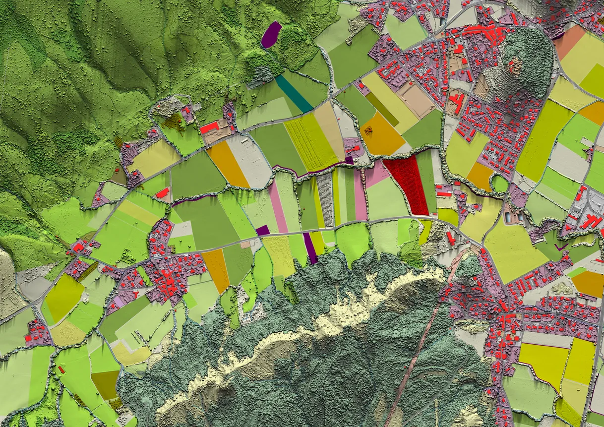
Integrated Service
Field data, mapping, design, and permitting in one connected workflow.
Overview
INTUS collects, converts, and integrates geospatial data for utilities, municipalities, and infrastructure owners. Information is organized for practical design, construction, and maintenance use.
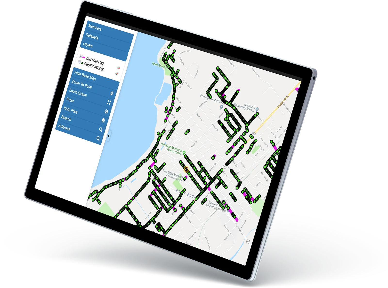
What this enables
The practical results this service is built to produce.
Field collection, conversion, design, and hosting remain connected from start to handover.
Current geospatial information gives designers and reviewers a clearer project picture.
Deliverables are structured for construction, operations, maintenance, and future planning.
How we deliver
Each capability ends in something you keep. Open one for its scope, applications, and deliverables.
INTUS brings legacy records, field information, as-builts, and existing geospatial datasets into a consistent GIS environment. The work focuses on organizing disconnected information so project, design, and operations teams can use the same dependable data rather than reconciling separate files each time a decision is required.
Common applications
Deliverables
INTUS configures browser-based access to geospatial information so approved office and field users can view, manage, analyze, and maintain project or asset records from a shared environment. Hosting can support organizations with large datasets that need scalable access without distributing separate map files to every stakeholder.
Common applications
Deliverables
INTUS combines current mapping, collected field evidence, existing records, and project requirements to support early engineering and design decisions. This creates a clearer basis for route development, constraint review, stakeholder coordination, and permitting before work reaches construction.
Common applications
Deliverables
INTUS collects and organizes location-based information for infrastructure assets, project conditions, and ongoing operations. Mapping turns field observations into practical digital records that can support design, construction, maintenance, comparison over time, and integration with broader asset-management systems.
Common applications
Deliverables
How we coordinate the engagement
One team stays accountable from kickoff to handover, with clear checkpoints and records at each step.
Confirm the asset, location, constraints, stakeholders, and required outcome.
Bring field, technical, engineering, and project teams into one delivery plan.
Execute the work with visible controls, practical reporting, and clear accountability.
Provide useful records and next-step support for operations, maintenance, or expansion.
Start with the challenge
Share the location, asset, timing, and outcome. We’ll connect you with the right operating team.