Search INTUS

What can we help you find?

Integrated Service

Know what is below
before you build.

INTUS investigates, models, and documents buried utilities for municipal and infrastructure projects — so routing, construction, and asset decisions rest on evidence instead of assumption.

Without evidence

  • Routes drawn around assumptions.
  • Conflicts discovered by the excavator.
  • Records scattered across old drawings.

With SUE

  • Routes drawn around verified utilities.
  • Conflicts resolved at the design table.
  • One engineered record the whole project uses.

Four stages.
Each one ends in something you keep.

The work runs as a sequence — assembled evidence becomes a visible model, the model exposes conflicts, and the findings become part of the permanent project record.

  1. Collect

    Assemble subsurface evidence

    Bring records, field investigation, survey information, and proposed design data into one working view.

    You keepA coordinated evidence base

  2. Model

    Make buried conditions visible

    Organize the available utility information into clear network and three-dimensional representations.

    You keepA visible subsurface model

  3. Resolve

    Review potential conflict points

    Compare proposed routes with known infrastructure so teams can identify and discuss clashes early.

    You keepA clearer design decision

  4. Document

    Carry findings into the project

    Provide records that support routing, permitting, construction coordination, and future asset use.

    You keepA defensible project record

What the team delivers.

Utility investigation, quality levels, and conflict support for design and construction.

Utility Records Coordination

INTUS assembles available utility records, field observations, survey information, and proposed project data into a coordinated subsurface evidence base. The work makes gaps and conflicts in the available information easier to identify before design decisions are finalized.

Applied to

  • Early design and route planning
  • Municipal infrastructure projects
  • Utility-record and field-data review

You receive

  • Coordinated utility information
  • Identified information gaps
  • A documented design basis

3D Network Modeling

INTUS develops three-dimensional network representations that make buried utility conditions easier to understand and communicate. Models connect known utility information with proposed infrastructure so technical and non-technical stakeholders can review the same spatial context.

Applied to

  • Utility corridor visualization
  • Directional-drilling route review
  • Stakeholder and design coordination

You receive

  • 3D network visualization
  • Spatially coordinated utility layers
  • A shared review model

Conflict Point Analysis

INTUS compares proposed routes with known underground infrastructure to identify potential conflict points before construction. Real-time three-dimensional views support route adjustments and clearer conversations about risk, constructability, and safe installation.

Applied to

  • FTTH directional-drilling projects
  • Utility route optimization
  • Constructability and risk review

You receive

  • Mapped conflict points
  • Route-adjustment information
  • A clearer pre-construction decision

Engineered Project Deliverables

INTUS carries subsurface findings into practical project records that support design, permitting, construction coordination, asset management, and emergency response. Deliverables are structured around the project decision rather than presented as disconnected investigation data.

Applied to

  • Design and permitting support
  • Construction handover
  • Future asset management and emergency use

You receive

  • Engineered subsurface deliverable
  • Design-support documentation
  • Reusable utility information

The hole proves it.
The record keeps it.

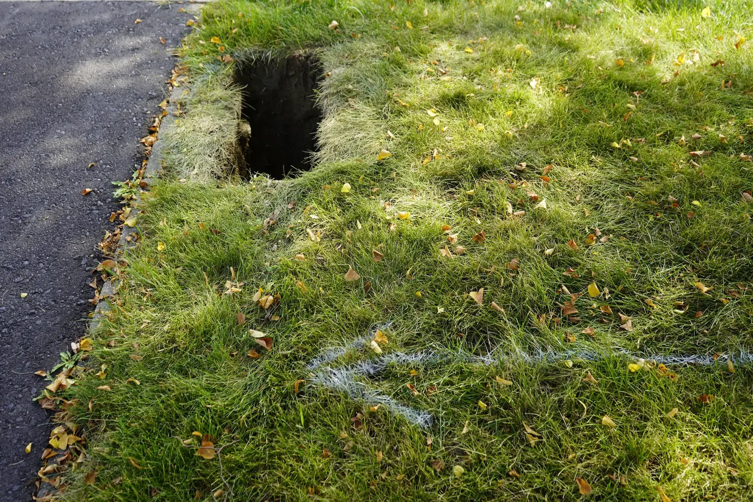
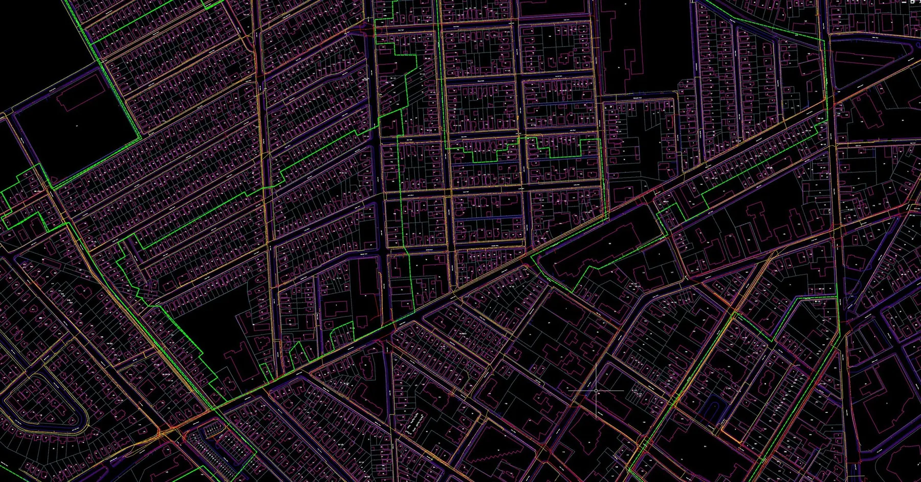
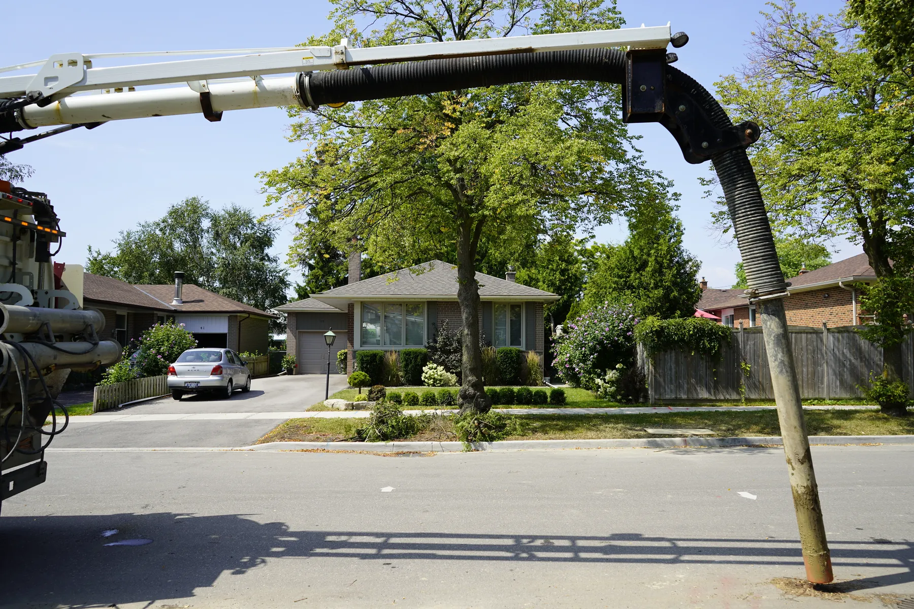
Daylighting exposes the utility so its position is verified, not assumed. The verified position then goes into the drawings, models, and GIS the rest of the project works from.

Neatly excavated utility test hole beside a roadway, with locate marks on the grass
In the fieldA daylighted test hole — buried utilities exposed and verified before construction.
Engineered utility mapping with dimensioned linework and asset detail
In the recordThe same utilities, engineered into the drawings and GIS the project keeps.

For Design Teams · Municipalities · Engineers · Project Owners

Start with the records you have.

Bring the drawings, locates, and questions. We will tell you what the ground can confirm.