Safer Excavation
Accurate locating and mapped records help field teams understand buried-asset risk before work begins.

Integrated Service
Accurate field information for safer excavation and better infrastructure decisions.
Overview
INTUS locates, maps, and integrates buried-asset information into GIS. The result is safer work, clearer records, and fewer avoidable strikes or delays.
What this enables
The practical results this service is built to produce.
Accurate locating and mapped records help field teams understand buried-asset risk before work begins.
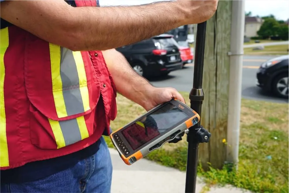
Field information is converted into practical GIS and as-built documentation.
Clear locate information supports faster decisions and more predictable field execution.
How we deliver
Each capability ends in something you keep. Open one for its scope, applications, and deliverables.
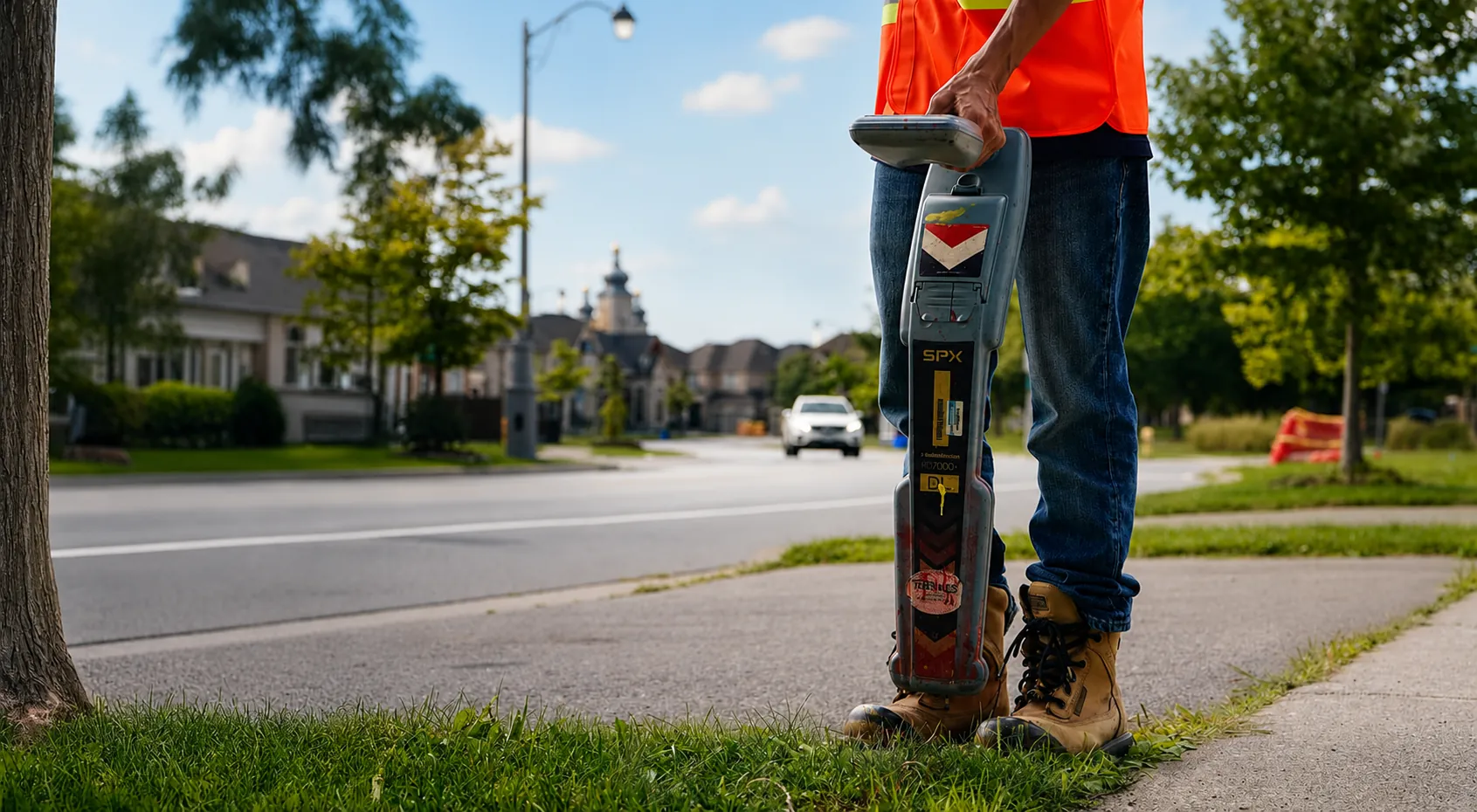
INTUS field teams locate buried utilities so excavators and project owners can better understand subsurface risk before work begins. The service combines experienced investigation, site interpretation, markings, and practical records that support safer excavation decisions.
Common applications
Deliverables
INTUS supports locate-request administration with clearing technology, quality review, and consistent record handling. Requests and mapped information are checked so stakeholders have a clearer, more traceable basis for the locate response.
Common applications
Deliverables
INTUS converts collected field information into digital, GIS-compatible maps that can be shared, archived, integrated, and compared over time. The resulting record supports safer future work and improves the quality of infrastructure information available to operations teams.
Common applications
Deliverables
INTUS combines CCTV inspection, scanning, mapped observations, and GIS integration for sewer and underground infrastructure. Findings can identify blockages, leaks, cracks, or other conditions and create a clearer record for maintenance and asset-management decisions.
Common applications
Deliverables
How we coordinate the engagement
One team stays accountable from kickoff to handover, with clear checkpoints and records at each step.
Confirm the asset, location, constraints, stakeholders, and required outcome.
Bring field, technical, engineering, and project teams into one delivery plan.
Execute the work with visible controls, practical reporting, and clear accountability.
Provide useful records and next-step support for operations, maintenance, or expansion.
Start with the challenge
Share the location, asset, timing, and outcome. We’ll connect you with the right operating team.