Search INTUS

What can we help you find?

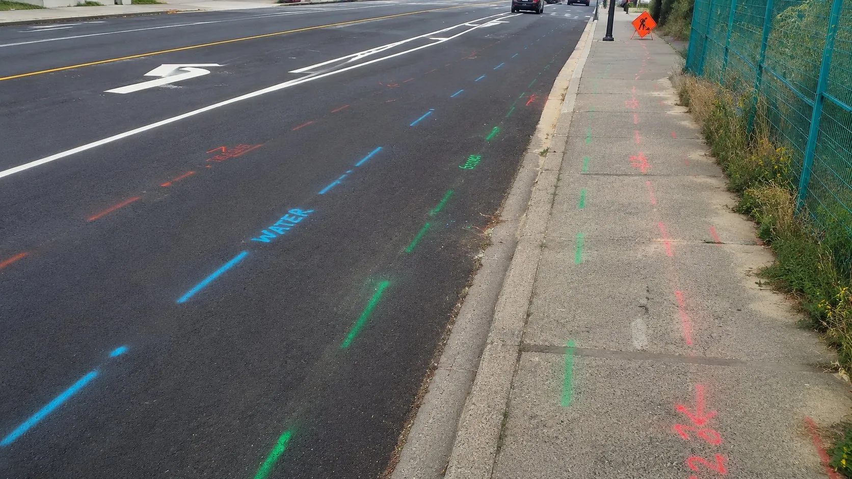
Colour-coded water, sewer, and telecom locate marks along a municipal roadway

Integrated Service

Municipal Services

Practical services and systems for public infrastructure teams.

Overview

A clearer way to deliver municipal services.

INTUS supports streetlight, water, sewer, gas, and hydro assets with field services and connected technology. Municipal teams gain clearer records, faster response, and more consistent maintenance workflows.

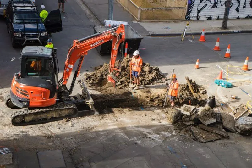
Municipal crew excavating a city street to reach buried water and sewer infrastructure
Field capability connected to planning, information, and accountability.

What this enables

Practical outcomes for complex infrastructure.

The practical results this service is built to produce.

Connected Public Assets

Streetlight, water, sewer, gas, and hydro information can be managed through consistent systems.

Faster Response

Field and office teams gain clearer access to asset information during routine and urgent work.

Practical Modernization

Services can be introduced around current municipal workflows instead of replacing everything at once.

How we deliver

What the team delivers.

Each capability ends in something you keep. Open one for its scope, applications, and deliverables.

  1. As-Built Integration & GIS Hosting

    You receiveLegacy and current municipal records connected in one hosted GIS environment.

    INTUS brings legacy municipal records, as-builts, locating, and mapping into a shared GIS environment. The service creates a more consistent infrastructure record and supports browser-based access for teams that need current information across office and field workflows.

    Common applications

    • Legacy infrastructure-data migration
    • As-built indexing and integration
    • Shared municipal map access

    Deliverables

    • Integrated municipal GIS records
    • Hosted map layers
    • A documented asset-information baseline
    Discuss this capability
  2. Emergency Response & AR

    You receiveCritical infrastructure information made available for faster emergency coordination.

    INTUS organizes critical asset information so management and emergency teams can access it during natural or human-caused incidents. GIS and augmented-reality views help responders understand infrastructure location, condition, and instructions within the field context.

    Common applications

    • Emergency preparedness
    • Incident command and field response
    • Damage-prevention planning

    Deliverables

    • Response-ready asset information
    • Mobile or contextual map access
    • Documented emergency reference layers
    Discuss this capability
  3. Geophysical & Environmental Services

    You receiveField surveys selected to clarify subsurface and environmental conditions.

    INTUS provides electromagnetic, ground-penetrating radar, resistivity, seismic, and related field surveys for municipal investigation needs. Methods are selected around the site, subsurface question, required resolution, and project decision.

    Common applications

    • Utility and subsurface investigation
    • Environmental and geophysical studies
    • Pre-design field evidence

    Deliverables

    • Survey observations and datasets
    • Mapped investigation results
    • A technical field summary
    Discuss this capability
  4. Municipal Utility Locating

    You receiveBuried municipal networks verified before excavation or maintenance.

    INTUS verifies and locates buried municipal networks using field methods suited to the asset and conditions. The work supports excavation, infrastructure verification, field inspection, and damage investigation with clearer location information.

    Common applications

    • Public-works excavation
    • Infrastructure verification
    • Field inspections and damage investigations

    Deliverables

    • Utility markings and observations
    • Locate documentation
    • A clearer municipal work area
    Discuss this capability
  5. Streetlight Mapping & Maintenance

    You receiveStreetlight assets mapped for clearer maintenance and planning.

    INTUS maps streetlight locations and organizes asset information in GIS so municipalities can coordinate inspection, maintenance, and long-term planning. A consistent spatial inventory makes individual assets easier to find, review, and manage.

    Common applications

    • Streetlight inventory development
    • Maintenance coordination
    • Upgrade and replacement planning

    Deliverables

    • GIS streetlight inventory
    • Mapped asset attributes
    • Maintenance-ready location records
    Discuss this capability
  6. Subsurface Utility Engineering

    You receiveMunicipal utility conditions modeled to support safer design decisions.

    INTUS develops municipal network designs and three-dimensional utility visualizations that make potential conflicts easier to identify. The engineered information supports routing, permitting, construction coordination, asset management, and emergency use.

    Common applications

    • Road and utility projects
    • Directional-drilling review
    • Municipal network design

    Deliverables

    • 3D utility visualization
    • Conflict-point information
    • Engineered design-support records
    Discuss this capability
  7. Sewer Inspections & Mapping

    You receiveSewer condition findings inspected, mapped, and prepared for action.

    INTUS supports sewer and manhole investigation with video inspection, cross-bore review, and mapped observations. Inspection findings are organized so municipalities can understand condition, location, and follow-up requirements within a broader infrastructure record.

    Common applications

    • Sewer and manhole condition review
    • Cross-bore safety inspection
    • Maintenance and rehabilitation planning

    Deliverables

    • Inspection video and observations
    • Mapped sewer information
    • Identified maintenance priorities
    Discuss this capability
  8. Permitting & One Call Services

    You receivePermit and locate-request administration coordinated through one process.

    INTUS combines permit-process support with locate-request administration to reduce disconnected handling and improve traceability. Technology and standardized workflows help municipal teams coordinate submissions, clearing, records, and status information.

    Common applications

    • Municipal infrastructure permits
    • High-volume locate requests
    • Administrative workflow modernization

    Deliverables

    • Permit-support records
    • Processed and tracked requests
    • Clearer status and audit information
    Discuss this capability
  9. Municipal Network Management

    You receiveConnected municipal networks monitored through a shared geospatial view.

    INTUS connects sensor and network information with GIS so municipalities can monitor infrastructure location, activity, and service needs. The operational view supports repair coordination and ongoing asset decisions across connected networks.

    Common applications

    • Multi-utility monitoring
    • Remote sensor programs
    • Repair and service coordination

    Deliverables

    • GIS-connected network information
    • Monitoring and activity records
    • Actionable repair context
    Discuss this capability
  10. Municipal Asset Management

    You receiveMunicipal assets, work, and field activity connected for daily operations.

    INTUS coordinates municipal inventory, work orders, fleet activity, infrastructure records, and related operating information around practical public-works workflows. The service can connect individual functions without requiring every municipal system to be replaced at once.

    Common applications

    • Infrastructure inventory management
    • Work-order and fleet coordination
    • Public-works maintenance programs

    Deliverables

    • Organized asset inventory
    • Connected work and activity records
    • A clearer municipal operating view
    Discuss this capability

How we coordinate the engagement

A clear path from kickoff to handover.

One team stays accountable from kickoff to handover, with clear checkpoints and records at each step.

  1. 01

    Understand

    Confirm the asset, location, constraints, stakeholders, and required outcome.

  2. 02

    Coordinate

    Bring field, technical, engineering, and project teams into one delivery plan.

  3. 03

    Deliver

    Execute the work with visible controls, practical reporting, and clear accountability.

  4. 04

    Handover

    Provide useful records and next-step support for operations, maintenance, or expansion.

Start with the challenge

Let’s discuss your municipal services requirements.

Share the location, asset, timing, and outcome. We’ll connect you with the right operating team.

Discuss a Project1-844-235-8559